|
We usually meet on the last Wednesday of each month at 9:30am by the village hall. Walks are not long or strenuous; 5 or 6 miles on average, each with a different leader.
Group Leader David Burke
2024 Walks
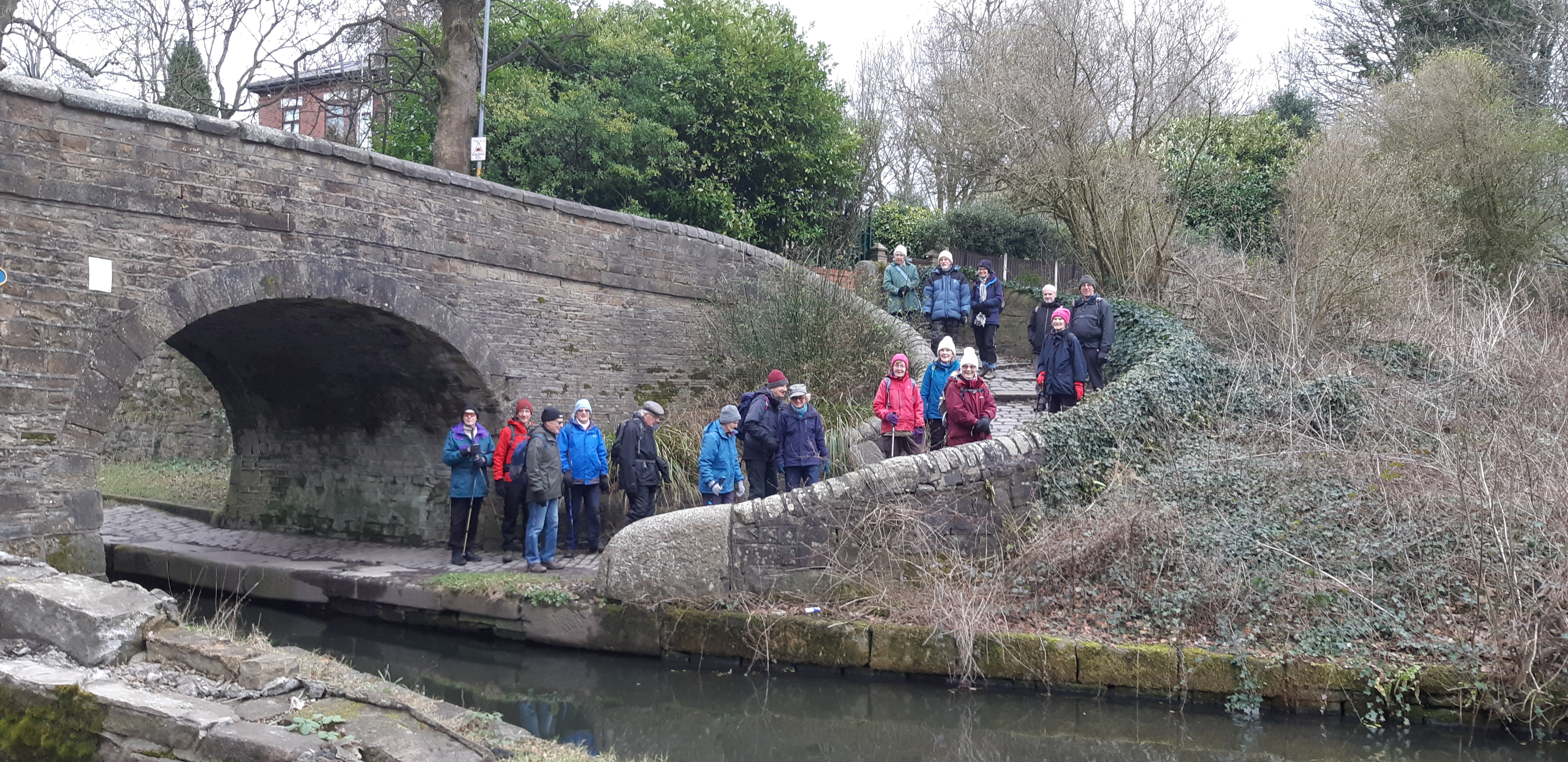
U3A Walk Wednesday 31 st January 2024
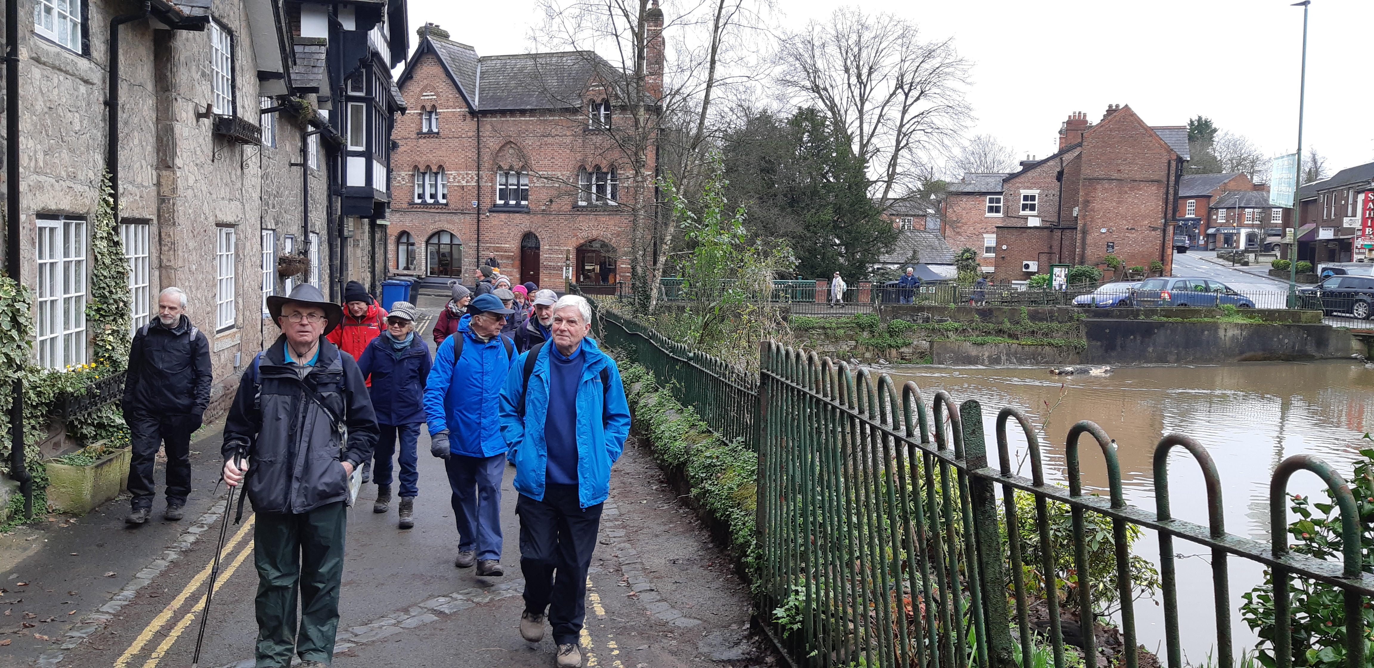
U3A walk Wednesday 28th February 2024
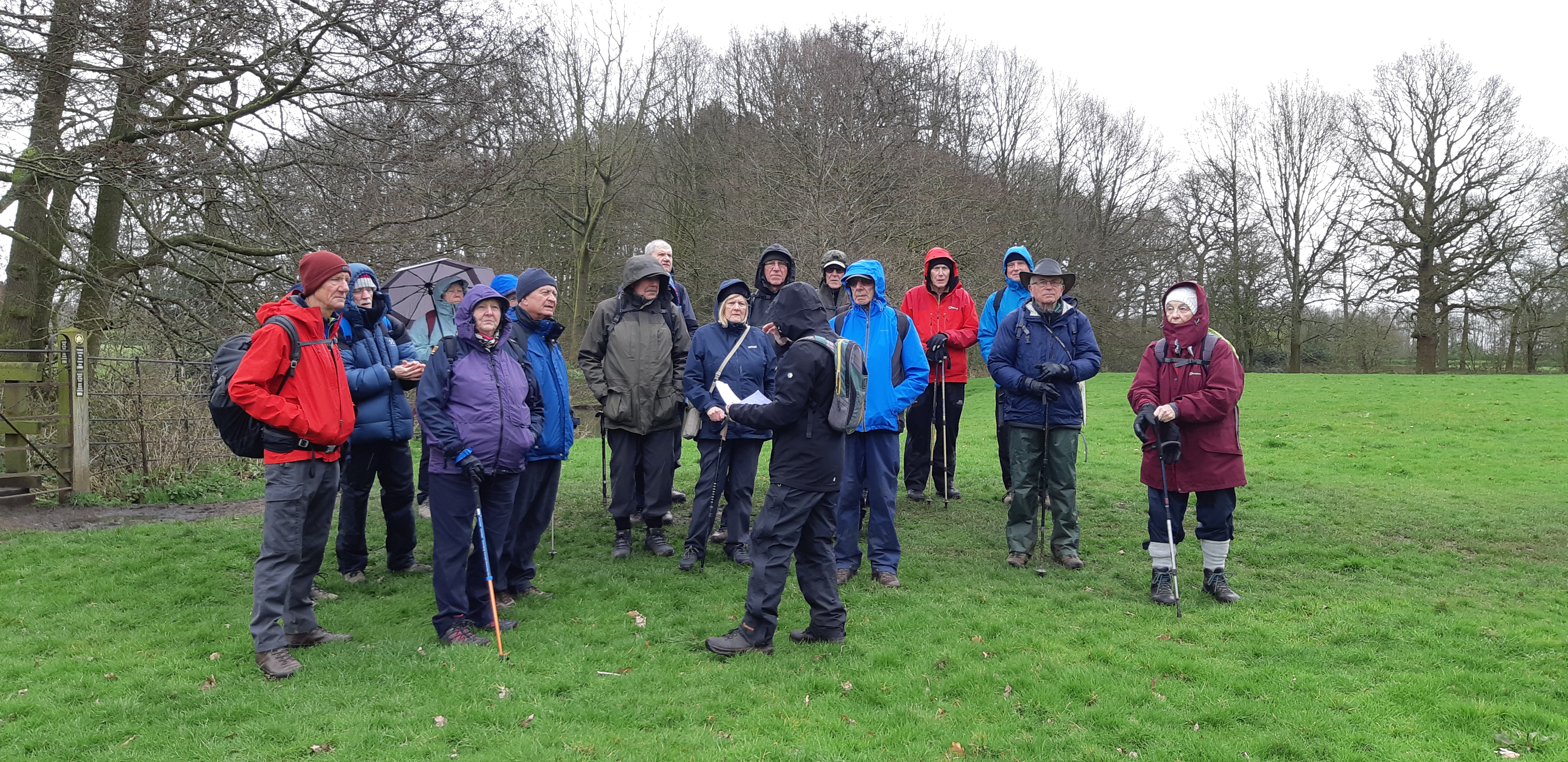
Fifteen of us met in the car park at Spud Wood, near Lymm, complete with waterproofs and brollies. Surprisingly, the weather men had got it wrong, as, apart from one short mild rain shower, it remained dry throughout most of the walk.
Spud Wood, is managed by the Woodland Trust, who acquired the land a few years ago and planted the trees. It used to be potato field, hence its name.
After a walk around and through the wood, we found an ancient footpath that led us into Lymm village, which still has it's old stocks and a Village Cross with seating around it. It was a lovely place to enjoy our coffee break.
Lymm has a stream flowing through the village, so we followed it until we eventually crossed the A56 over Lymm Dam. The Dam was built in 1824 specifically to allow the A56 to pass through Lymm. The side effect of the dam was the creation of a lake. We were able to follow the paths around the lake, stopping at one point to eat our packed lunches, before returning to walk back through Lymm village.
An enjoyable walk with better than expected weather. Jeff Mortimer
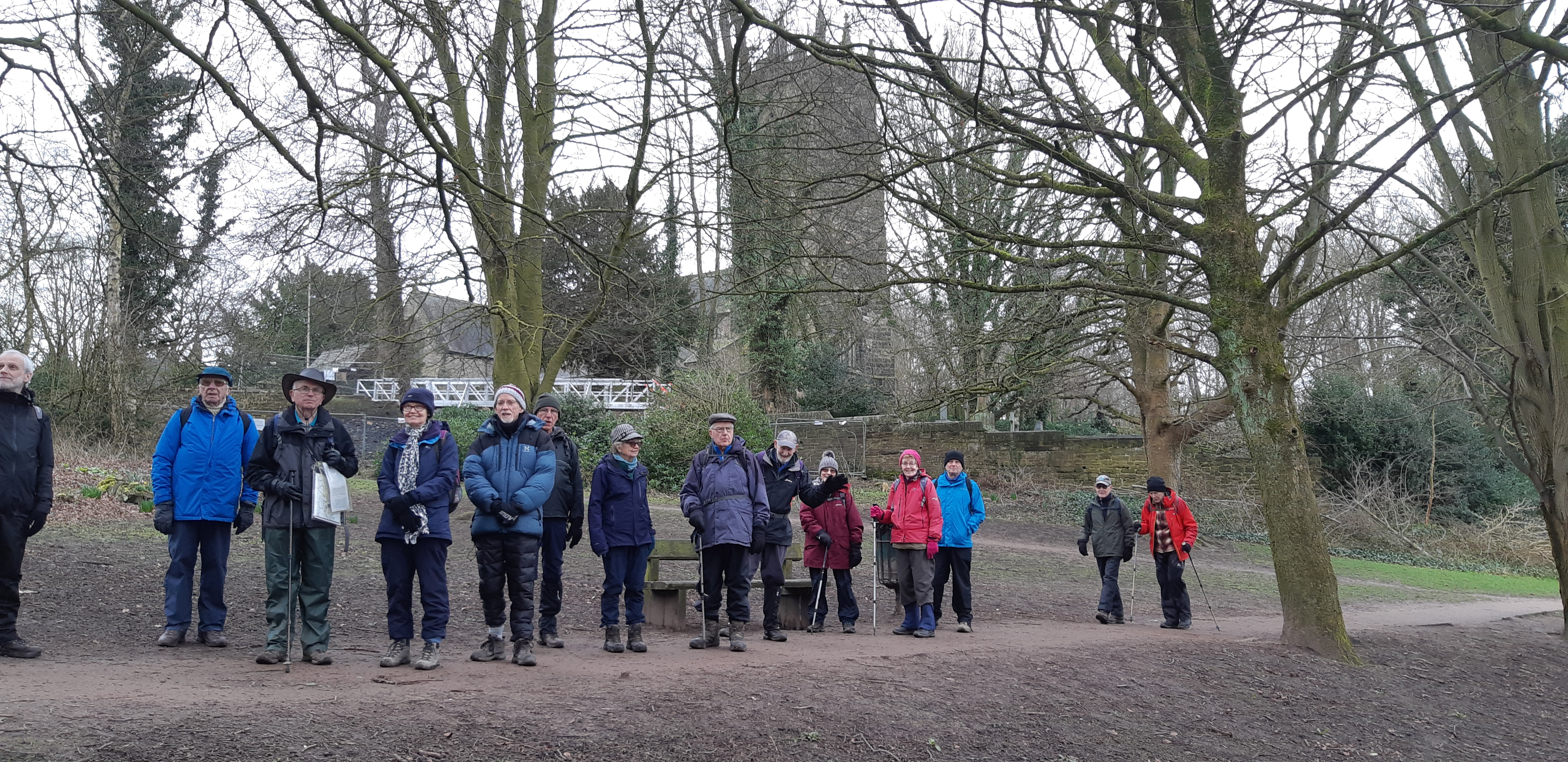
U3A walk round Peover Superior 27/03/2024
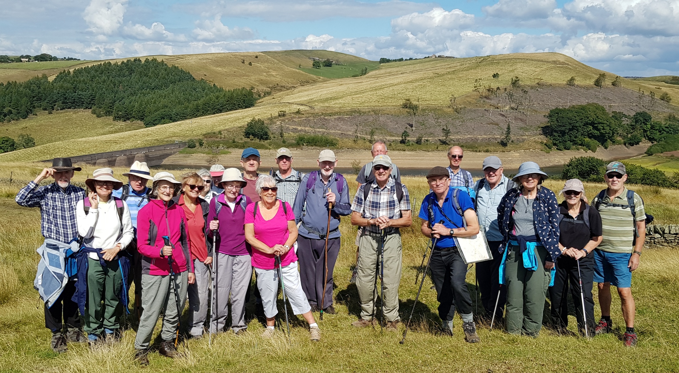
Some of us met at High Lane Village Hall car park at 09:30, whilst others went directly to the designated start point near Peover Superior school and cricket ground. In total, 21 people were on the walk, which had an estimated distance of 7.6 km.
Peover (/ˈpiːvər/ PEE-vər) is a largely flat rural area in Cheshire with narrow incised gullies along streams. It takes its name from the main brook called Peover Eye, which is formed from several springs and field drainage and runs west into the Wincham Brook a short distance northeast of Lostock Gralam. It is mentioned in the Domesday Book as "Pevre",[3] from a Celtic word meaning "the bright one" and it is thought that “Eye” comes from the Saxon word for a brook
To start our walk we headed towards Peover Hall which is a Grade II listed Elizabethan country house built in 1585 and which is still in use today as a family home.
The day started overcast but without any rainfall, although it had rained hard overnight and the ground was wet. Due to flooding on the road near the entrance to the Hall driveway, we had to divert and take an alternate path via the Village Hall. This gave us the benefit of a much better view of Peover Cottage and a good panorama of the Hall and stables as we approached. Peover Hall was built by Sir Randle Mainwaring in 1585, with a new wing being added by the fourth baronet Sir Henry in the 1760s before the Peels bought the hall and estate in 1919. The Brooks family acquired the property some 20 years later, and the family continue to live in the Hall today.
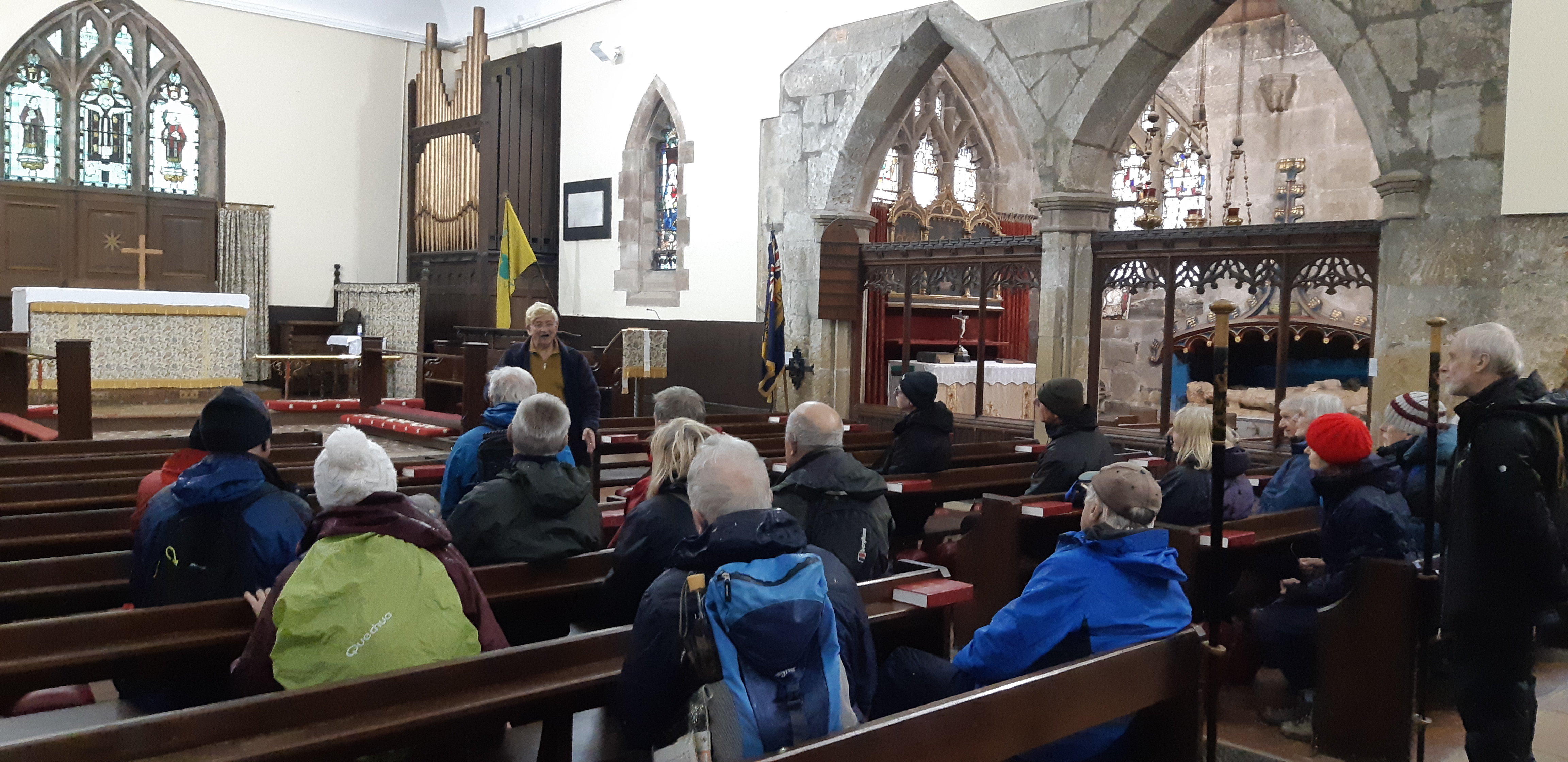
St Lawrence Church is the parish church of Over Peover and was built in three stages which started in 1456 when the South Chapel was built. This was followed by the building of both the North Chapel and the Tower in 1648 and 1741 respectively. The Nave of the church was finished in 1811. During his stay at Peover Hall, General Patton used to visit the church to pray, and so on his departure, he presented the American flag which is now displayed. There is an interesting story concerning the building of the South Chapel. When Sir Randle Mainwaring died, his wife, Margery, honoured his wish to be buried in the churchyard. Afterwards, however, she erected the chapel and tomb over him, where they have lain together since her death. The South Chapel is a Chantry Chapel where the priest said daily prayers for the souls of the departed. Spaced between two pointed windows is a fine, canopied tomb, the reason for building the chapel originally. The ancient stained glass window in the South Chapel portraying Thomas Becket, the famous saint, is a rarity, one of only two in England to survive destruction on the orders of Henry VIII. The North Chapel is a mortuary chapel, never used for services. It was built in 1648 by the widow of the then Lord. She installed a marble monument with life-size effigies of them both. The Lord’s actual armour hangs on the wall. Their coat of arms can be seen in an elaborately-carved timber ceiling and the semi-circular windows depict their family crests. The other monuments in this chapel were moved there when the main body of the church was demolished and are equally interesting. The North Chapel displays a Cromwellian helmet and breastplate. Lady Ellen Mainwaring is known to have assisted Cromwell’s cause and legend has it that Cromwell’s troops were frequently billeted in the church. All the more surprising, therefore, that the glass in the South Chapel has survived. A more recent feature of interest is the William Morris Window, this is a memorial window (dated 1936) in the north-west corner of the nave, portraying the charitable activities of a much-regarded parishioner. By the time we were ready to leave St Lawrence church and continue our walk, the rain had stopped.
We continued through the gardens of the Hall and out onto the open fields once more, heading away from the Hall, along the main driveway.
We then passed by the Barclays Technology Centre (Radbrook Hall), and what appeared to be a huge new hydroponic tomato growing facility.
By 13:20, we had returned to our cars, at which point those who had brought a packed lunch were able to avail themselves of the seating in the park, whilst the rest adjourned to the Dog Inn at Peover Heath for pub lunch.
Rick Hedley
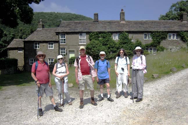
U3A group walk 24Apr24: Grindleford / Bole Hill / Surprise / Padley Gorge
Eight intrepid walkers arrived at the start of this walk, keen to stretch their legs in this beautiful part of the Peak District. Fortuitously, the weather provided us with a dry if somewhat cool day, making ideal walking conditions.
Starting from Grindleford Station, the route took us past or through a number of historic sites.
Firstly, Totley Tunnel. The Hope Valley Line connecting Sheffield and Manchester, was one of the last main lines built by the Midland Railway, and involved two major tunnels - Totley at the east end and Cowburn at the west end of the Hope Valley.
Totley tunnel is 3.5 miles long, and when completed in 1893, was the second-longest railway tunnel in the UK.
Work began in 1888, but the route crossed land owned by the Duke of Rutland; he decreed that no more than one ventilation shaft should be sunk through his land and that work should cease from August to October, during the grouse shooting season!
During construction some 166t of gelignite were used. The headings finally meet in 1892 and passenger services commenced in 1894.
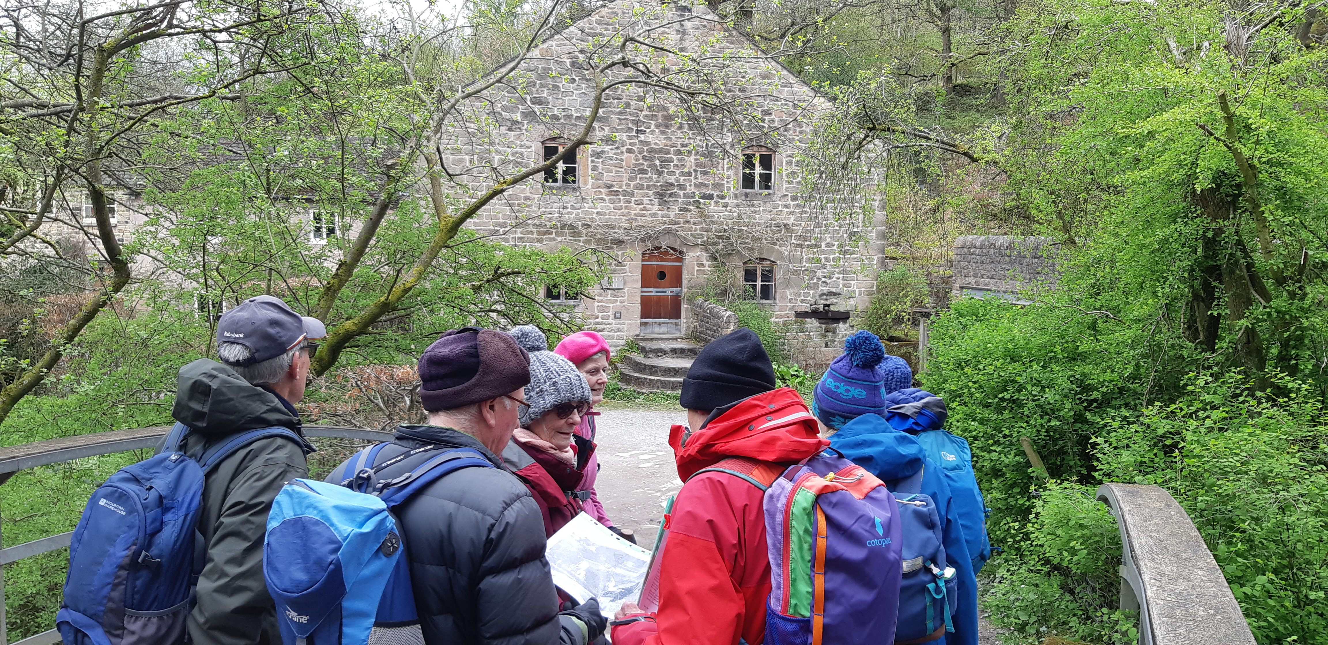
Then on to Padley Mill. Originally established in the medieval period, Padley Mill played a vital role in the local economy as a centre for grain milling, the Burbage Brook providing the power. It was later converted to a saw mill, then a wire drawing mill, and is now a private residence.
Further along the road / track we came to the ruins of Padley Hall/Manor, and Padley Chapel.
During his reign, William the Conqueror donated Padley estate to a supporter, who then built the original Norman hall.
Centuries later, it had become a clandestine meeting place for Catholics. In 1588 it was raided and two Catholic priests were discovered hiding within the walls. Two weeks later they were found guilty of high treason and were hanged, drawn and quartered in Derby. Their corpses were displayed on poles on St. Mary's Bridge. They became known as the 'Padley Martyrs'.
Eventually the Hall fell into disrepair and was abandoned. Mostly now just foundations, we were able to walk around these and get some impression of what a grand house this once was.
Padley Chapel is the only complete structure still standing; it was the former gatehouse and was used as a farm building following the closure of the Hall. In 1933 it was converted into a Catholic chapel in honour of the martyrs. A pilgrimage to Padley Chapel began in 1892 in honour of the executed martyrs and it still takes place in July each year from nearby Grindleford Railway Station. There is an aspiration to create a pilgrim walk between Padley and St Mary's Bridge in Derby.
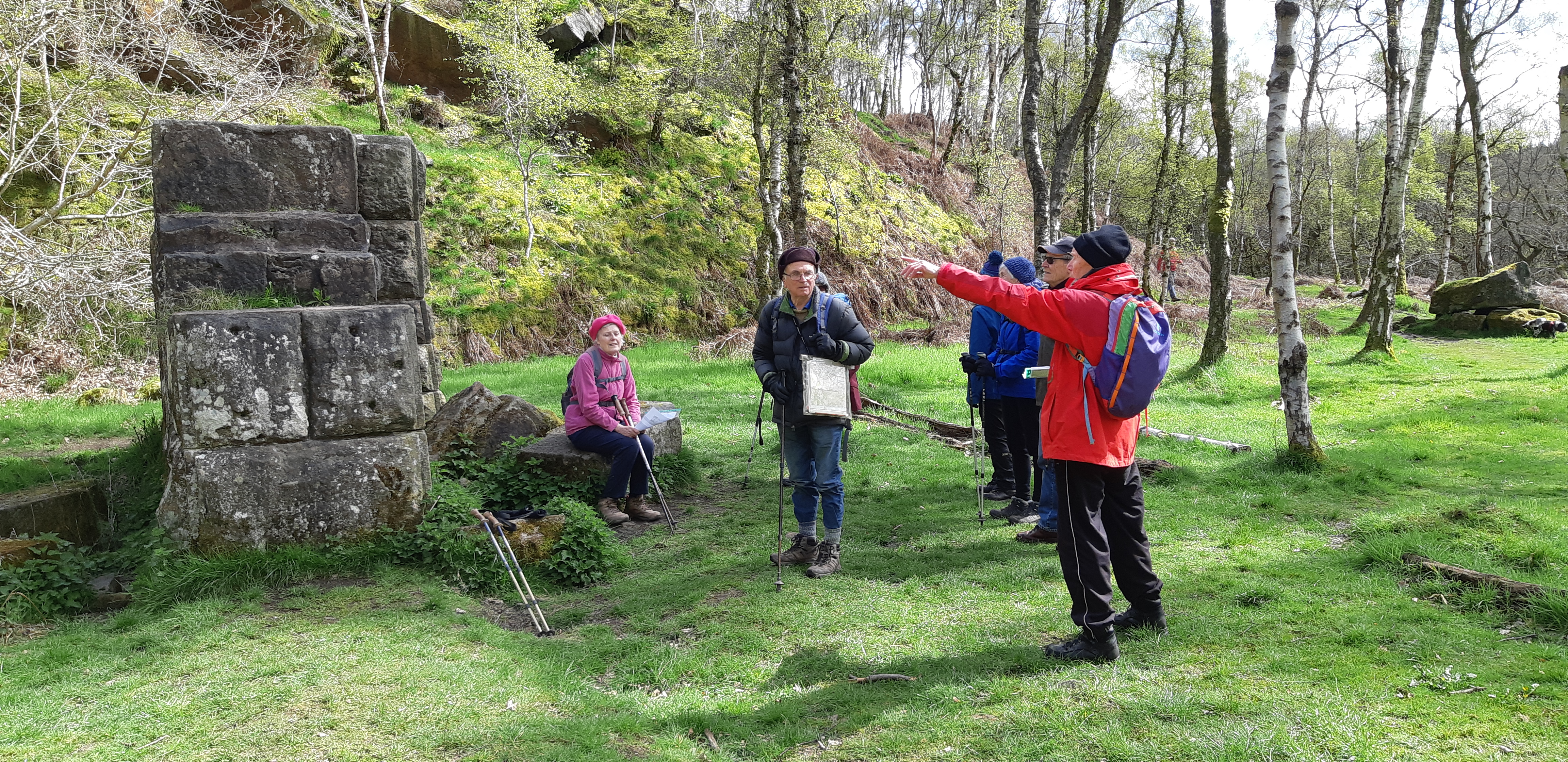
Our next section of the walk was one of the more strenuous. We ascended the 1:3 incline where stone from the Bole Hill quarry was exported to build Howden and Derwent dams further up the Derwent Valley. As trucks loaded with stone were individually lowered, the pulley system raised an empty truck up from the bottom. A photograph was shared of the operation.
At the top of the incline we viewed the remaining stone structure that originally housed the winding wheel. Judging from a photograph this wheel must have been some 10m diameter!
The walk continued through a cutting where dressed stone was brought from the marshalling area to the winding wheel by locomotives; the rails now long gone.
Eventually, we arrived at the quarry face. Operated between 1902 - 1910, the quarry was some 1,200 yards long and produced over 1.25 million tons of stone, the large blocks weighing between 20 to 30 tons each.
At the time, the whole are was covered in railway lines with many cranes and locomotives operating. Now the rails and the plant are gone and the area has returned to nature, peaceful and covered with silver birch trees.
Production at the quarry ceased in December 1910 and after the plant had been removed, Bole Hill closed in September 1914. In 1947 it was gifted to the National Trust.
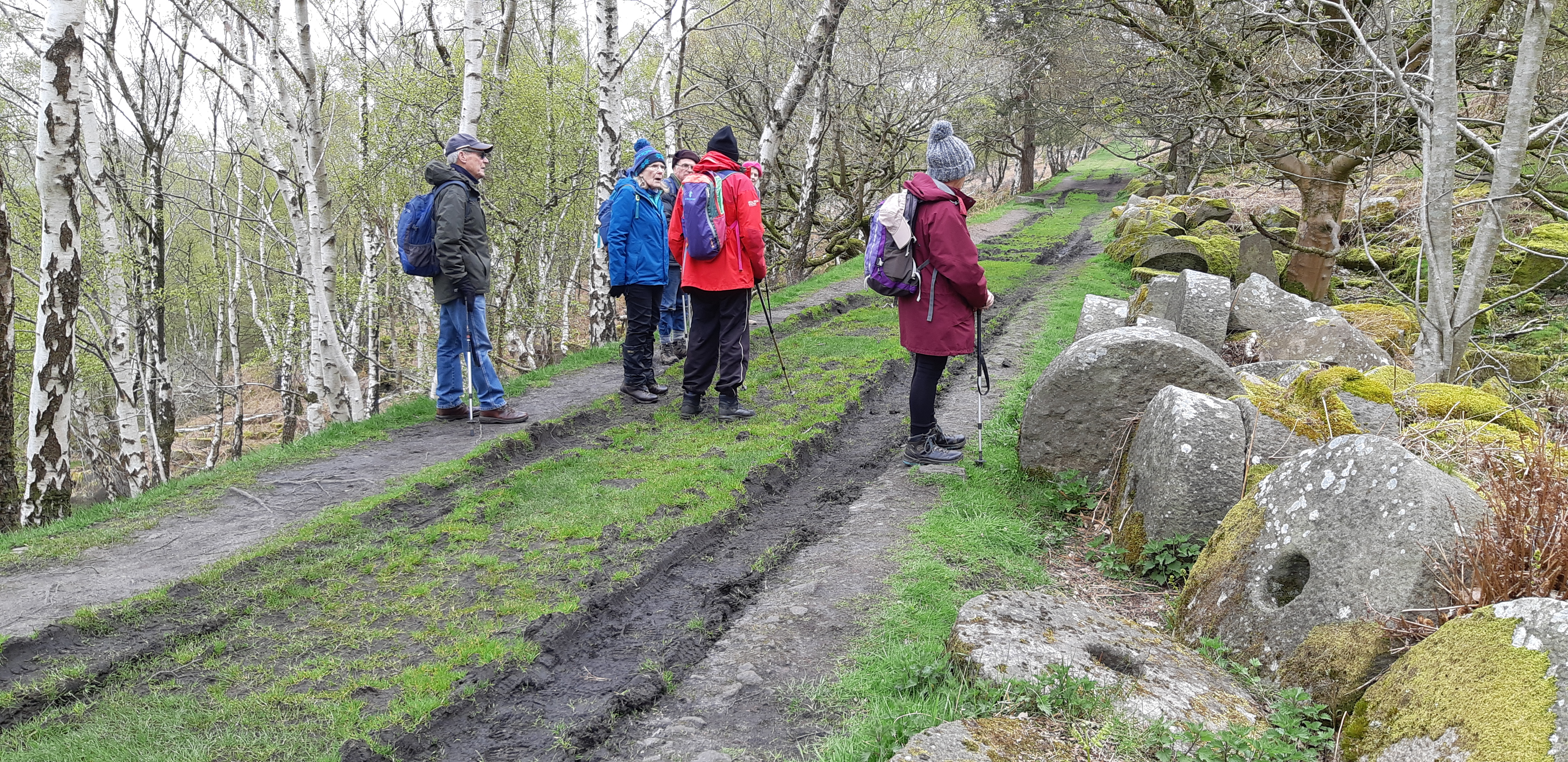
Exiting the quarry, we walked past scores of discarded millstones. These were produced in volume as early as the 13th century by quarries in this area, but later were displaced by cheaper foreign imports. It appears the remaining stock was discarded and the process abandoned.
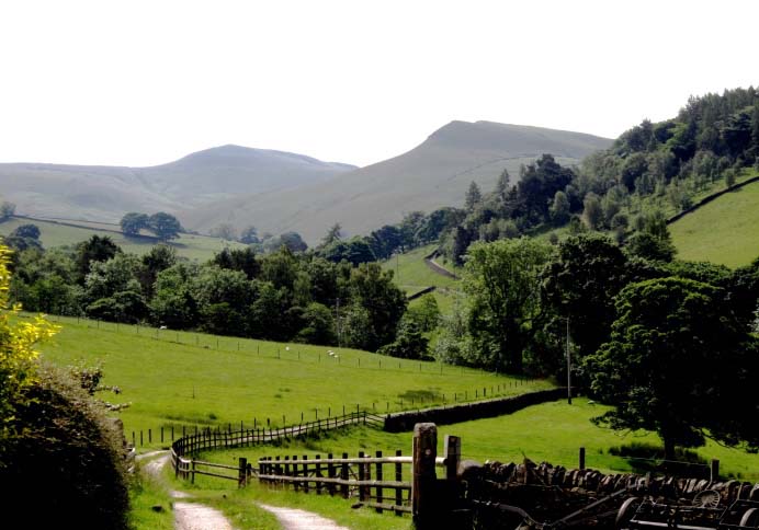
Next on the walk was a climb, crossing the A6187 at Surprise and up to the highest point at Over Owler Tor, with superb views over Derwent and Hope Valleys and the hills beyond in one direction, and Higger Tor and Carl Wark hill fort in the other.
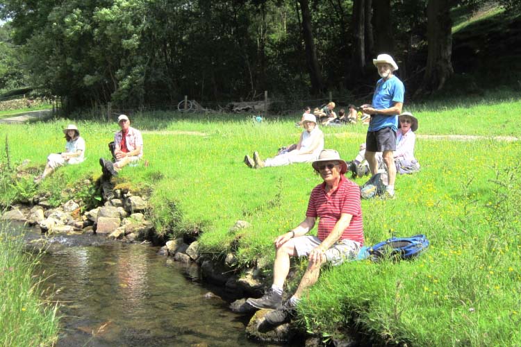
Following a welcomed lunch stop under Mother Cap rock, we crossed back over the A6187 and headed down to Padley Gorge, with views of the cascading Burbage Brook.
A brief visit was made to the Powder Store where explosives for the quarry used to be kept, and then to a valve chamber where the huge pipelines from the Derwent reservoirs enter the Burbage Syphon, crossing under Burbage Brook on their way down the Derwent Valley to supply water to Nottingham, Derby and Leicester.
The walk ended back at Grindleford Station where some of the group were refreshed by tea in the cafe!
Peter Wareham
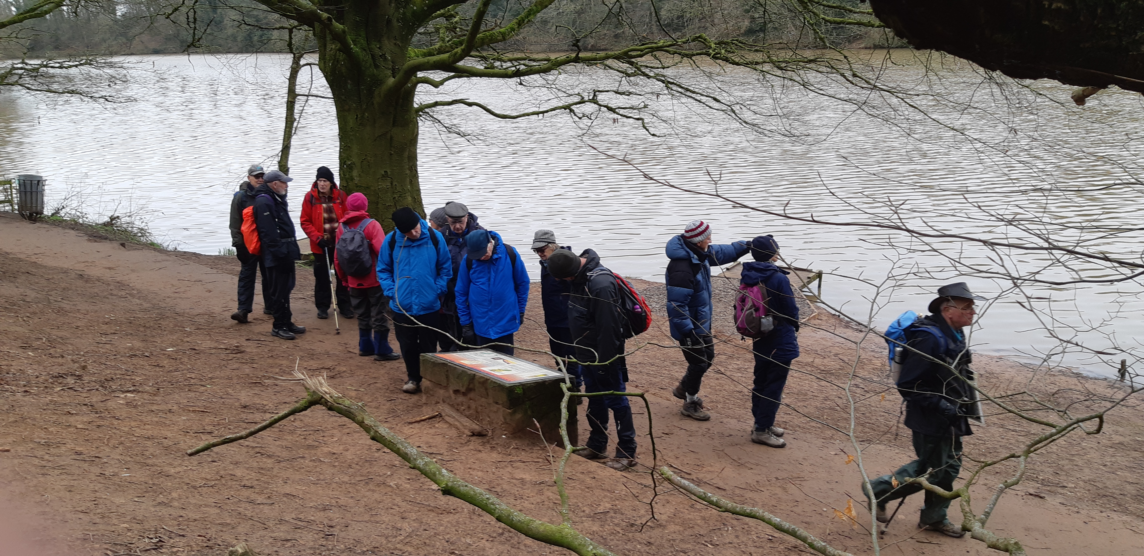
U3A walk 29/5/2024
U3A Walk report – Wednesday 26th June 2024 Hayfield
We had a short coffee stop with views of Kinder Scout and the reservoir and brief talk on its construction over 7 years.
We then joined the River Sett at the bridge and made our way for lunch stop by the riverside before our return journey back to Hayfield via Bowden bridge and Campsite route and a play photo shot in the park!.
|


.jpg)